Home
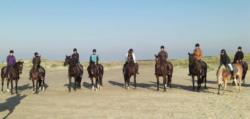
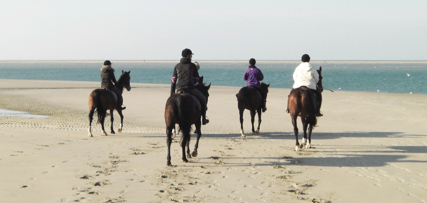
Strandrit 2011
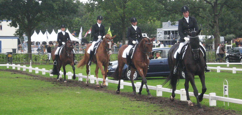
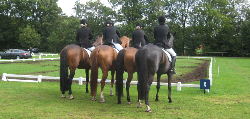
Viertal NK 2009
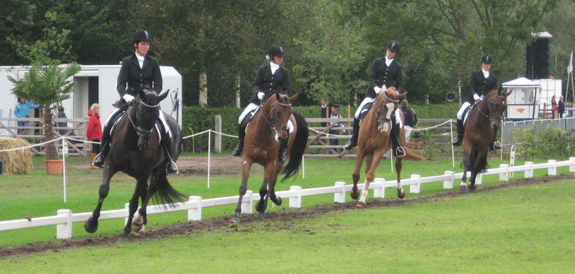
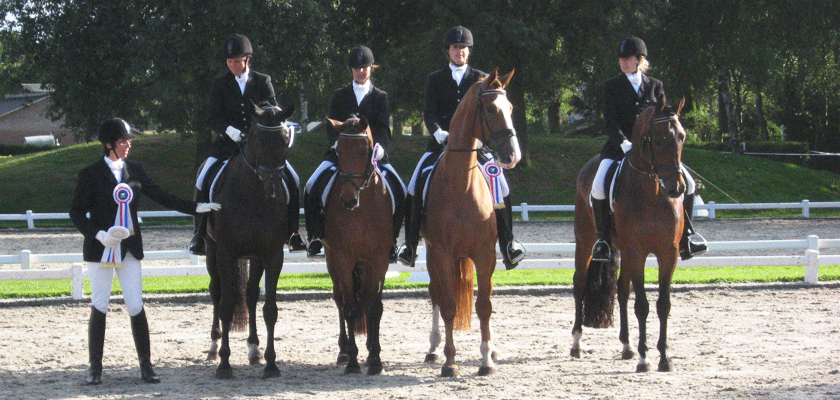
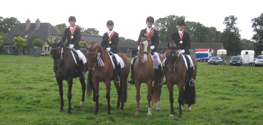
NK 2009 3e plaats M-viertal
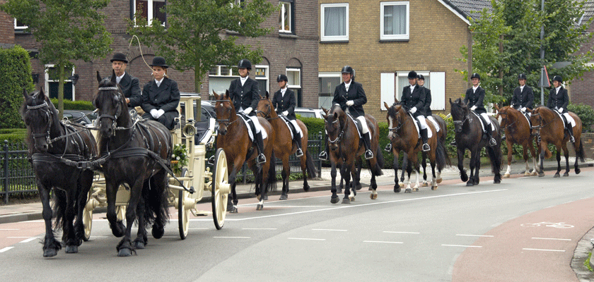
Huwelijk 2006
Welkom
Rijvereniging Sint Jan is een kleine rijvereniging uit Oerle (Veldhoven – Noord Brabant). In verenigingsverband genieten we van al het moois wat de paardensport ons biedt. Zo is een groot deel van onze leden regelmatig op de wedstrijden te vinden, organiseren we iedere 5 jaar een wedstrijd en regelmatig leuke uitjes zoals de jaarlijkse strand- of bosrit.
“De hemel op aard vind je op de rug van een paard.”
Wij komen nog bijna altijd wekelijks samen om te trainen onder begeleiding van een deskundige instructeur. Ook hebben we nog een actief viertal waarmee we graag uitkomen op wedstrijden. Misschien vind je het leuk om je ook bij onze vereniging aan te sluiten? Je kunt altijd vrijblijvend deelnemen aan een proefles. Klik hier om je daarvoor aan te melden. Wil je alvast kennis maken? Klik dan door naar de pagina onze leden. Of lees wat meer over onze geschiedenis.